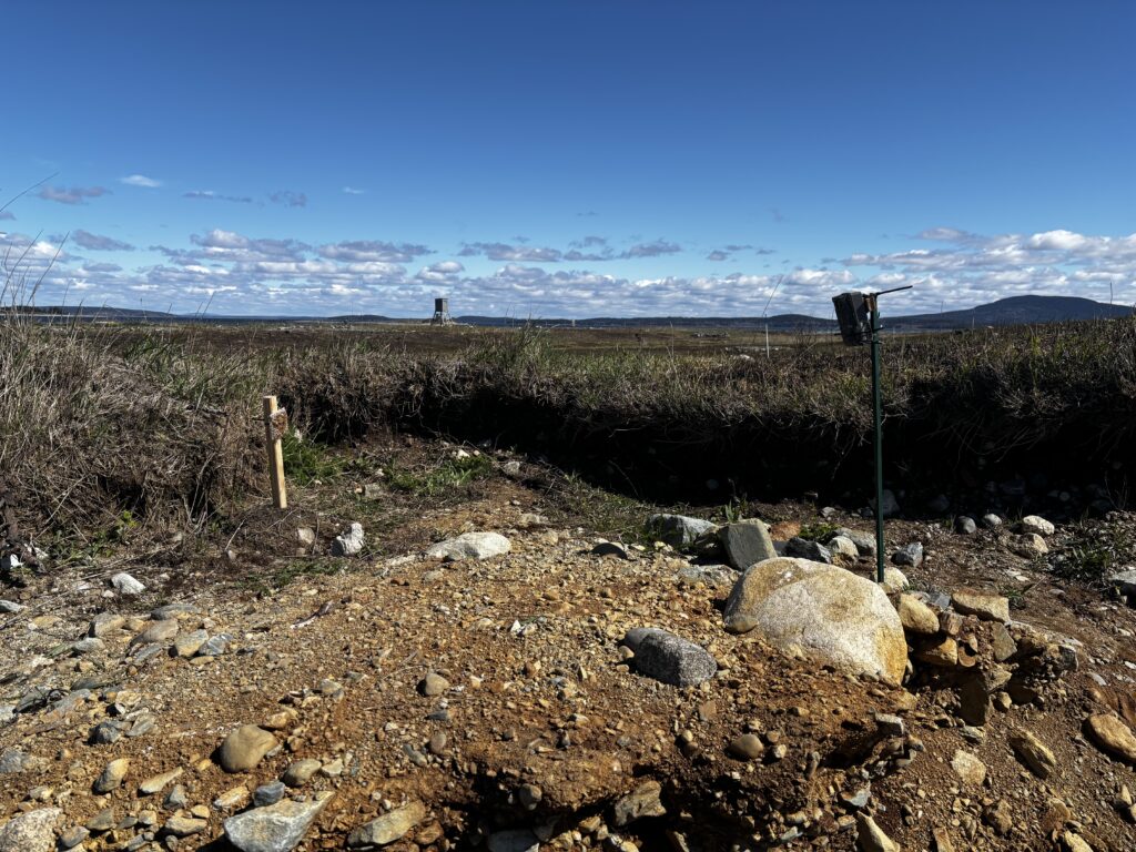
Seabird biologists are increasingly concerned that growing mink and otter populations may be negatively affecting where seabirds can successfully nest along Maine’s coast. To better understand this, MNHO is starting a camera tracking project to document where and how frequently these mammals are present on islands. By strategically deploying trail cameras on both seabird nesting and non-nesting islands, we will examine how mink and otter move between islands and how their activity differs from islands close to the mainland to those farther offshore. Spearheaded by MNHO ecologist Elliot Johnston, this project will provide the first systematic assessment of how mink and otter are distributed across Maine’s island network, focusing on Penobscot Bay and Downeast in this first year.
Maine’s Nesting Seabird Colonies
Numerous islands on the Maine coast provide nesting habitat for colonial-nesting seabird species, including Arctic Tern, Atlantic Puffin, Great Cormorant, and Razorbill (which are all listed as threatened species in Maine), and Leach’s Storm-petrel, Laughing Gull, Common Tern, and Black Guillemot (which are species of conservation concern in Maine).
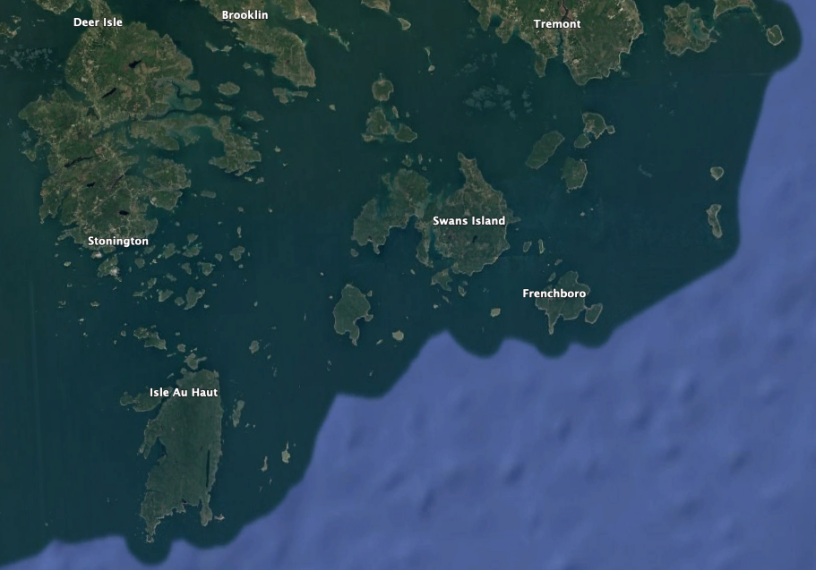
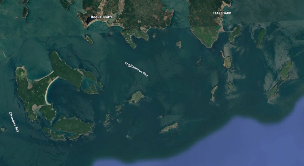
Mink and otter have been known to find their way to islands up to five miles from the mainland, significantly impacting breeding seabird colonies.
About this project
This project will be the first systematic assessment of the seasonal movement patterns of mink and otter on Maine islands with important seabird breeding colonies. Whether through predation or simply visiting islands, these species can significantly disturb seabird breeding colonies and negatively impact colony productivity. By placing a network of cameras on various islands throughout the 2026 season, we aim to explore questions tied to mink and otter visitation rates on islands, movement between islands, and nearshore-to-offshore gradients in their activity. This will allow wildlife managers to have a better understanding of which seabird colonies may be at greatest risk of disturbance from these aquatic mammals.
Project timeline
- April/May 2026: Deploy 60 cameras on islands in Penobscot Bay and Downeast.
- Fall 2026: Collect cameras from islands.
- Winter 2026/2027: Analyze data and plan strategy for 2027 field season.

Project Supporters
This project is made possible by the organizations that collaborate with us and allow us to deploy trail cameras on their islands, including the U.S. Fish and Wildlife Service, Maine Department of Inland Fisheries and Wildlife, and Maine Coast Heritage Trust.
Thank you!
Stay Connected
Follow the progress of this project through our newsletter or on social media
Related Content
-

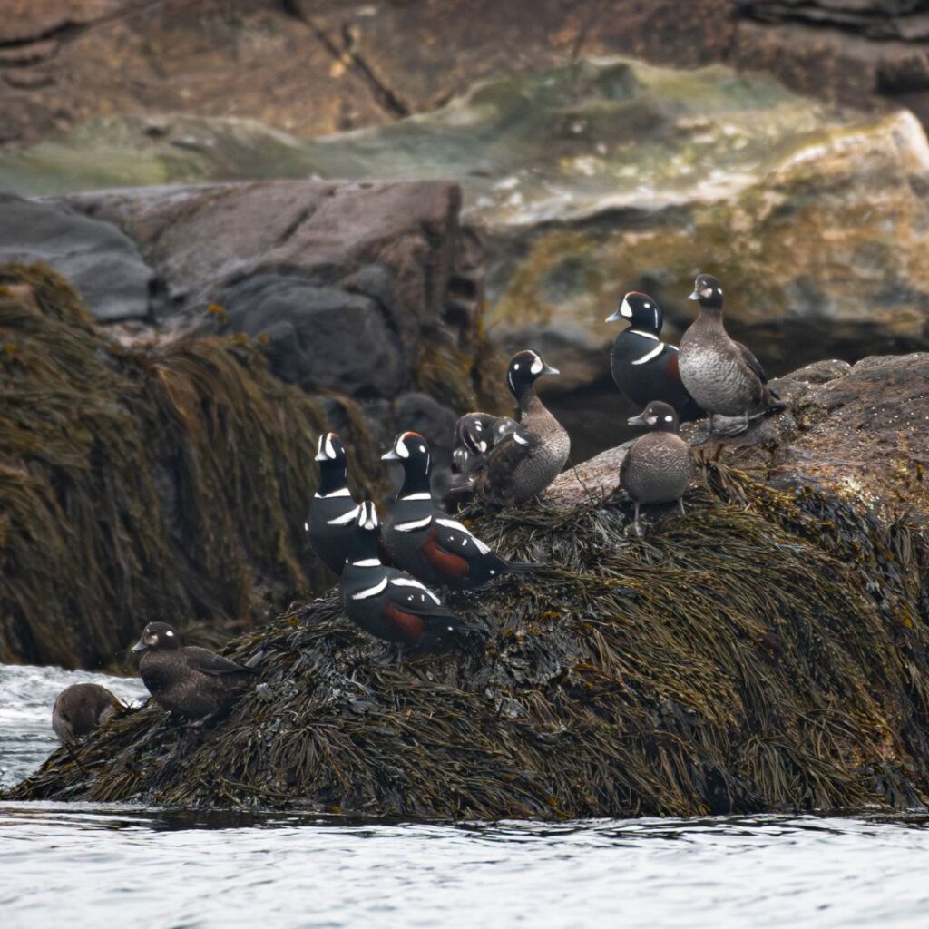
Harlequin Ducks in Jericho Bay
In the 1990s, research indicated that Jericho Bay was the single largest wintering location for Harlequin Ducks in Eastern…
-
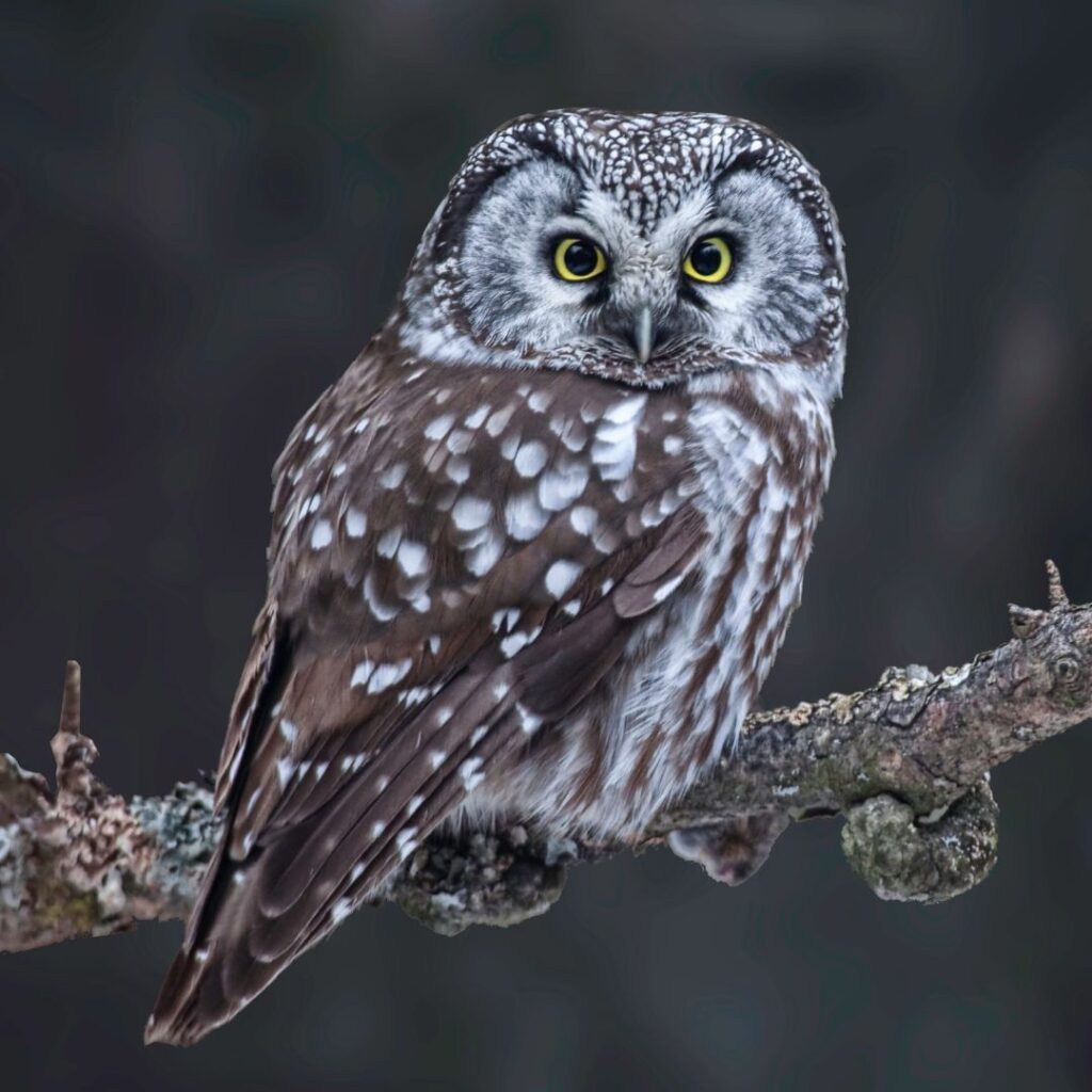
Boreal Habitat Owl Surveys
Owls are among the most charismatic and recognizable orders of birds in the world, yet their secretive life histories,…
-
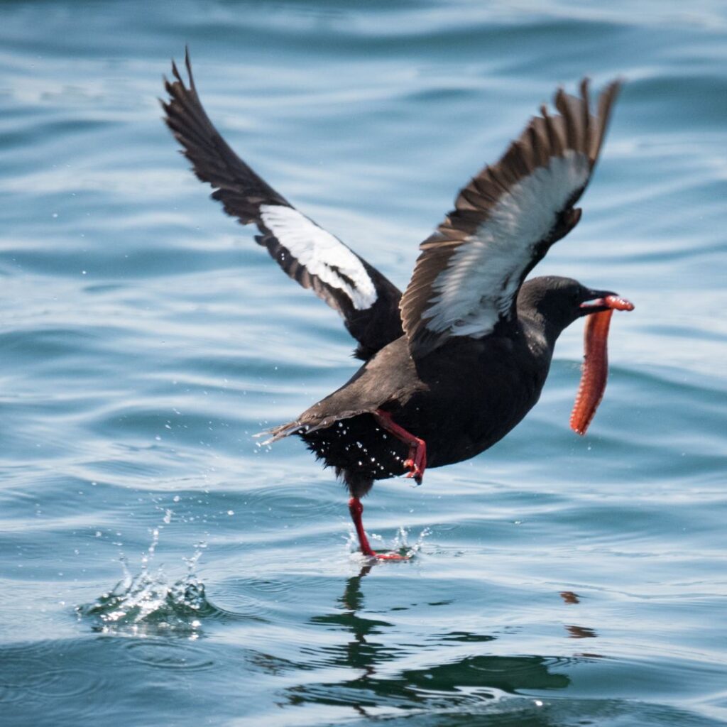
Black Guillemot Surveys
A member of the Alcid family along with Murres, Auks, and Puffins, Black Guillemots nest in rocky burrows in…