Whip-poor-will Tracking Project
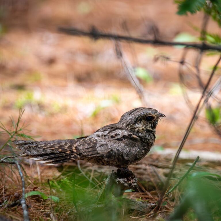
An interactive map to explore the movements of MNHO's featured nanotagged Whip-poor-wills.

An interactive map to explore the movements of MNHO's featured nanotagged Whip-poor-wills.
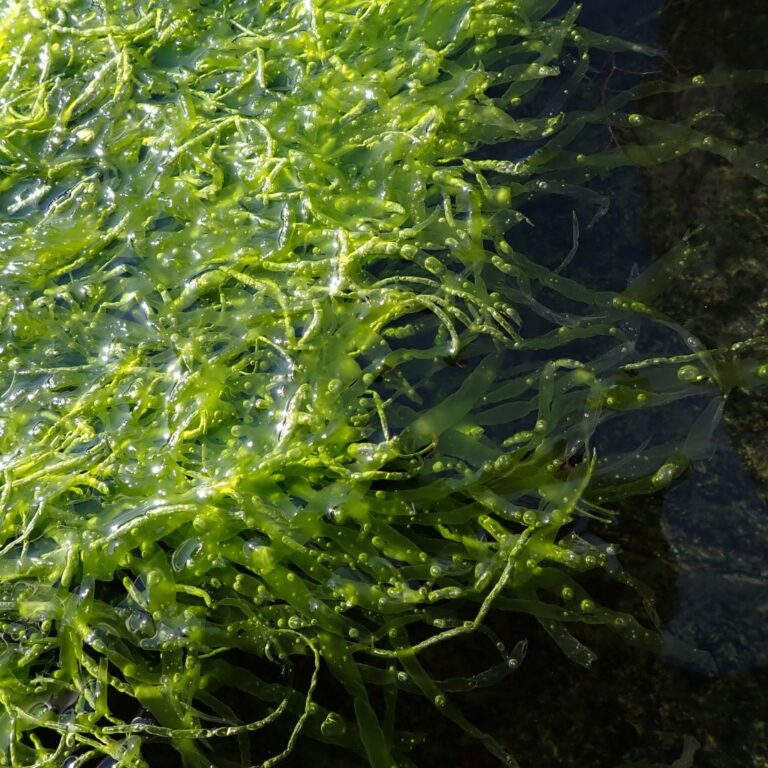
A database of the available reference, voucher, and observation data of seaweed species in Maine.
An interactive map to explore the distribution of seaweed species in Maine.
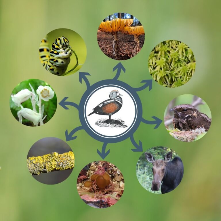
An interactive online resource to catalog all living species in Maine.
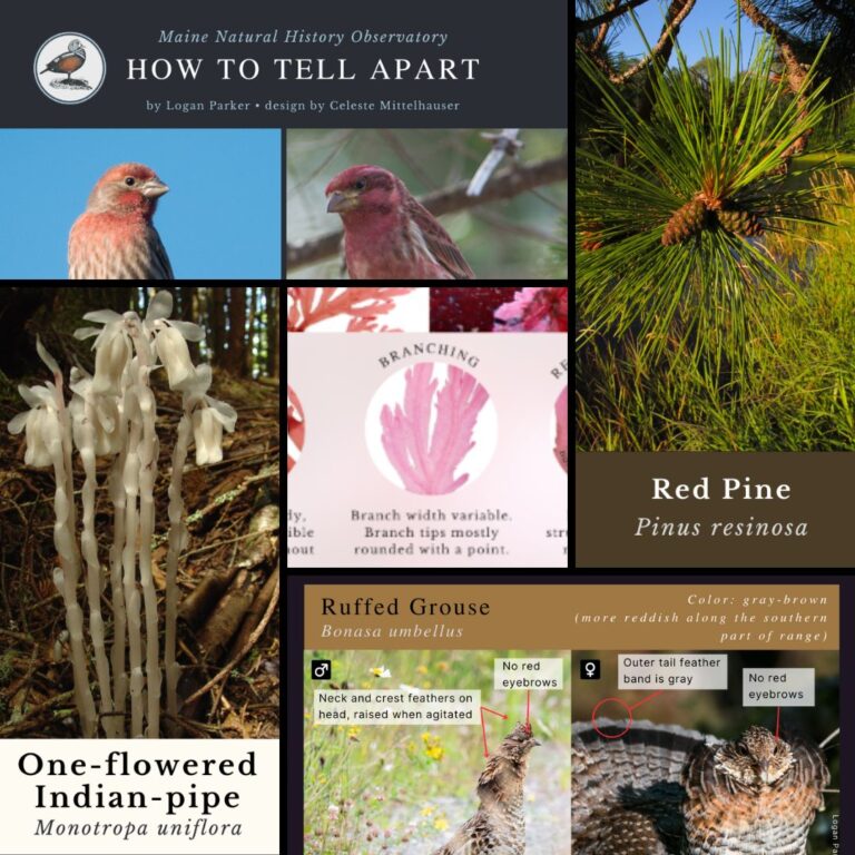
Free mini-guides designed to distill the decades of experience that enables professional naturalists and biologists to recognize each species by observing a few key characteristics.
This map is the culmination of decades of Maine island vascular plant data from published lists, unpublished lists, herbarium vouchers, and the fieldwork done by Observatory staff over the last 30 years.