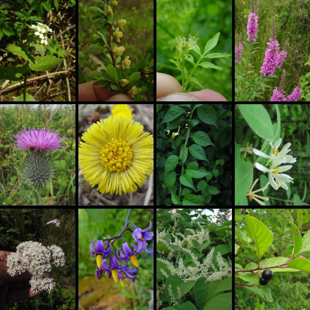
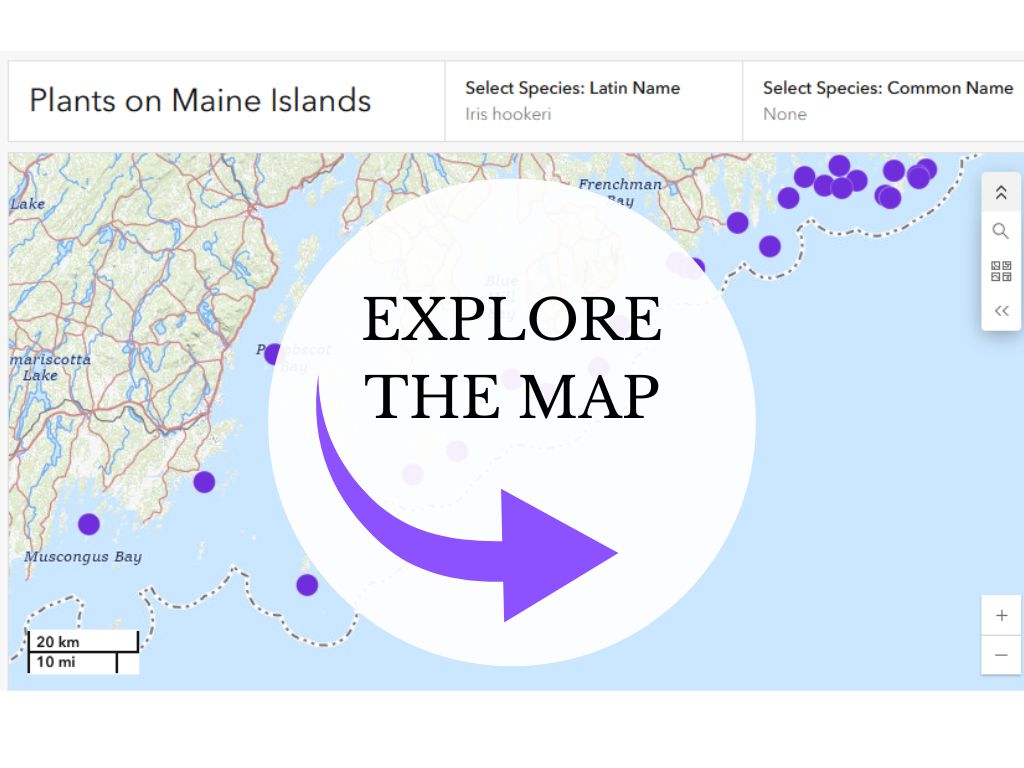
The Observatory has conducted plant inventories on over 75 islands along the coast of Maine and counting.
This project aims to improve understanding of plant abundance and distribution on Maine’s coastal islands and set down baseline data. The maps and lists that are created by these efforts are used by conservationists and biologists to track changes in the plant populations on Maine’s coastal islands for generations to come.

Stay Connected
Follow the progress of this project through our newsletter or on social media
Related Content
-

Aquatic Plants of New England Field Guide
We’re excited to announce the upcoming publication of Aquatic Plants of New England, a new field guide by Don…
-
Invasive Plants
The Observatory has worked on Maine Coastal Islands National Wildlife Refuge (MCINWR) islands for a number of years detecting…
-
Mini Guides
Free mini-guides designed to distill the decades of experience that enables professional naturalists and biologists to recognize each species…